Here are some updates:
- Now with latitude, longitude and zoom level you can create an area map of anywhere in the world as long as it is available online.
- You can define the size of the map in tiles, it will be a square map, so you can have from 2x2 to whatever you see fit. However I am planning to have an upper limit of 10x10 due to performance. Usually a 5x5 is a sweet spot.
- Since we can have terrain, you can also set the detail, the more detail the better looking it may be but you will have higher poly meshes. The default value for the tile is 10x10 vertices.
Things I am working on:
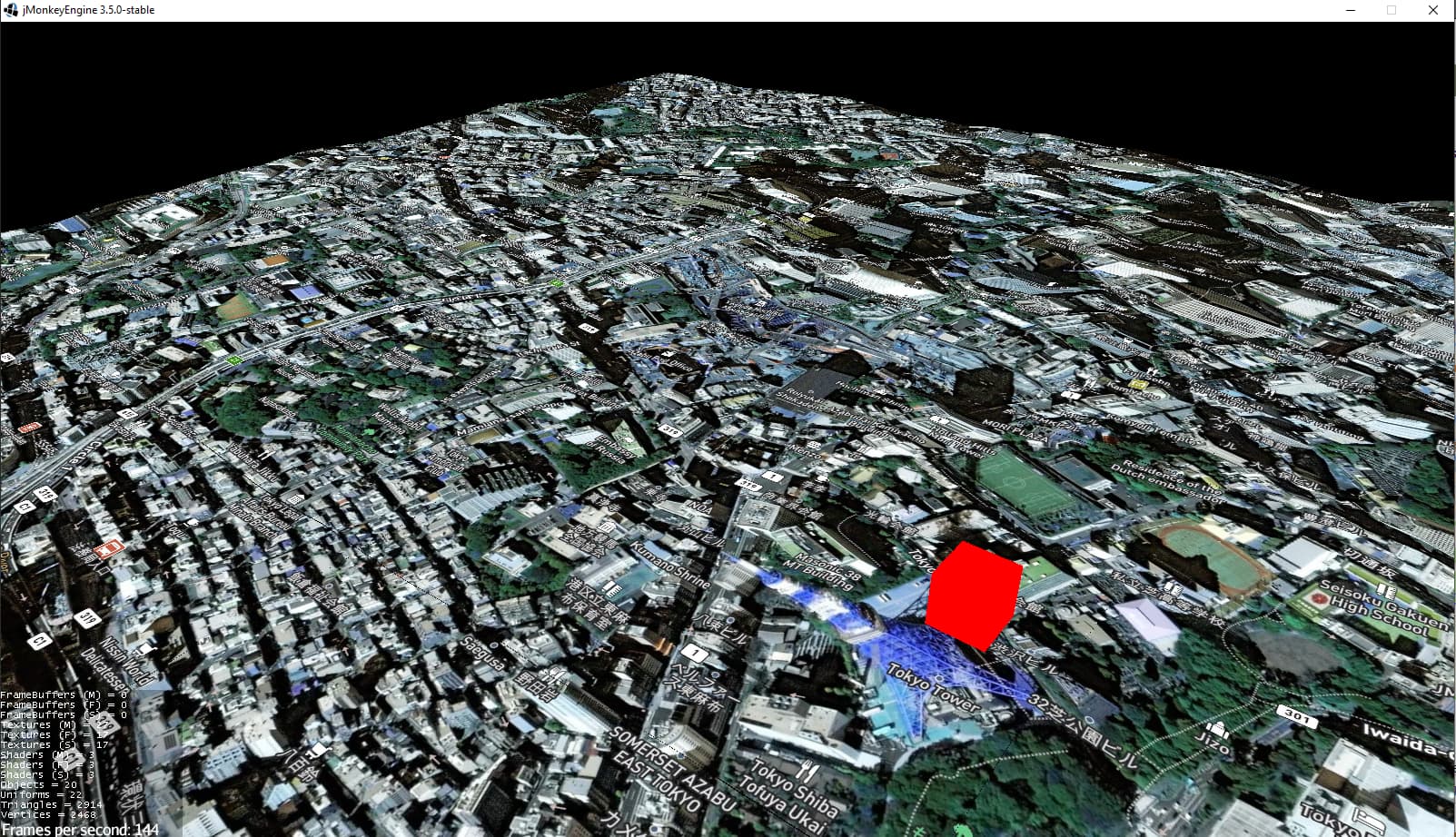
- Stitching: The terrain is formed but it creates gaps between adjacent tiles, so a stitching algorithm needs to be added to ensure the borders meet correctly and reduce the gaps.
- Vector Tiles: This is a complex part which is creating the geometries of buildings based on map data. I have the reading of the data ready but it needs to be transformed into 3D geometries on the map.
- Multithreading: For ease of development everything is running on the main thread which is easy but not optimal. Once I have the Vector tiles I will go to this step to increase speed in rendering the map area
While you can see the map area of San Francisco here. I will share one of Tokyo in this thread