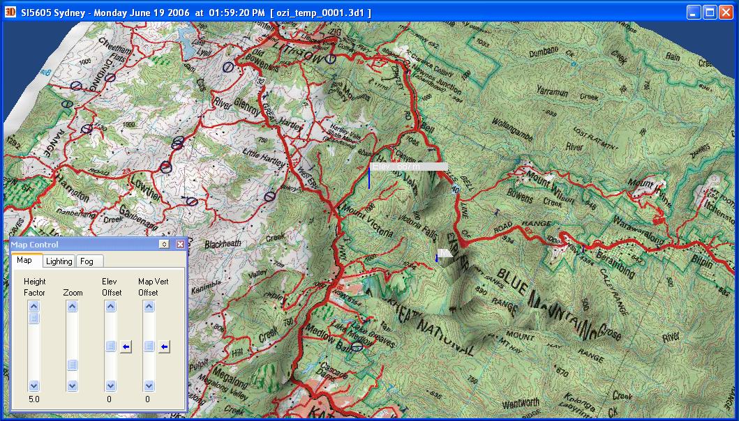
Hello, Anybody try to load dted file in JMonkey? Maybe you have any idea how load it and render? I want to load it and put texture on it, like here http://visibleprocrastinations.files.wordpress.com/2007/07/2006-06-19-ozi3d-05.jpg
convert it to a ogrexml in blender or similar program then you can load it easily (applies mostly for jme3)
Ehm… I can’t do these becouse I want to write dted loader and viewer without any external programms.
I’m fairly certain that the DTED sets are all text. You should be able to work according to the specification: http://www.nga.mil/ast/fm/acq/89020B.pdf
I also wouldn’t be surprised if whatever source you were working from wasn’t already included in the National Elevation Dataset offered by the USGS. It should be easier to work with but only covers CONUS 
ok, What should I use to write this viewer? JOgl? JMonkey2 or JMonkey3 or anything else? and why? Do you have any ideas?
Thanks for replies
Well JOGL vs. jME isn’t really a valid comparison since we’re building functionality on top of the JOGL and LWJGL packages. You’re going to want to use jME, but the question of using 2 vs 3 is really up to you and your requirements. I’m using 2 for two main reasons: My project has been in development since the pre-jME3 days and we’re targeting platforms of lower graphics abilities. jME3 requires shaders to work up to its full potential, which not all machines posses. You’ll need to do some thinking about who you’re deploying to and what you can realistically expect in terms of hardware.
Howdy all,
I’m new to jMonkey and also interested about the ability to directly import DTED data for a heightmap, has anyone created something for this? Apart from this forum topic and another which is dated 4 years ago there doesn’t seem to be anything else. I can convert my DTED to XYZ, which I’m not sure at this time if jMonkey supports, still looking into that one.
hello, any solution for loading and rendering of dted file using jMoneky or JOGL